State: Arizona
Open all Year: Yes
Number of Sites: 14
Elevation: 6217
County: Cochise
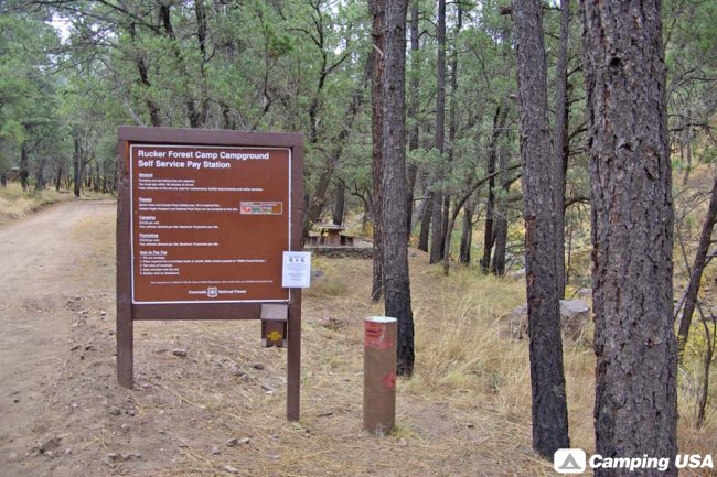
Free: No
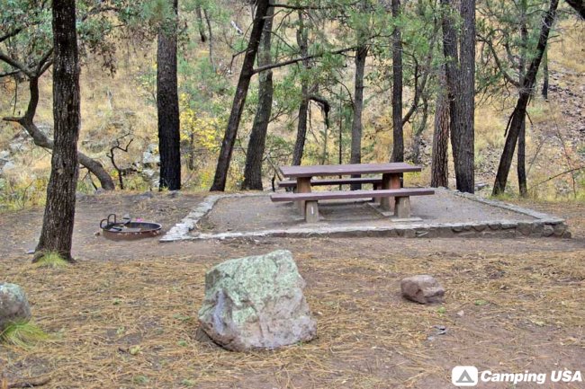
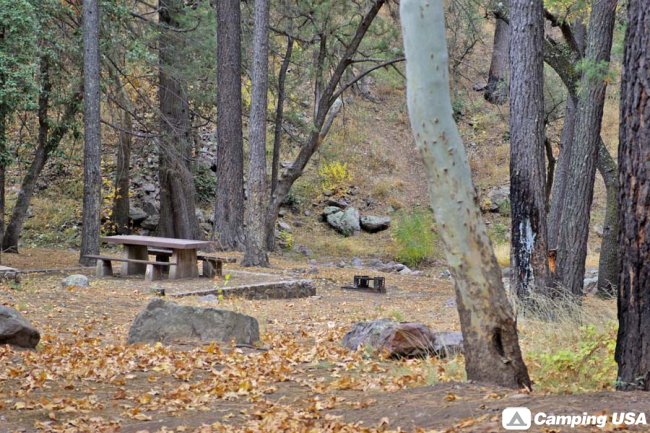
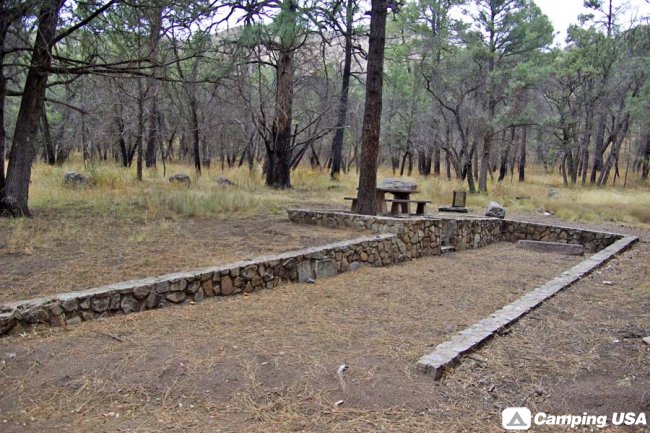
About: This camp is located at the end of a Forest road that wanders up Rucker Canyon into the Chiricahua high country. Campsites are situated on both sides of the road in a stand of big trees that include ponderosa pine, Apache pine and Arizona cypress. This is bear country, so youll want to take advantage of the bearproof food boxes for storing your cooler and any other odorous items.
On the way to Rucker Forest Camp, youll pass old Rucker Lake bed, which silted in after the Rattlesnake Fire in 1992. Rucker Creek still runs nearby. Closer to the campground, a number of Forest trails offer opportunities to explore the Chiricahua Wilderness high on the upper slopes.
Rucker Canyon Trail #222 and Raspberry Ridge Trail #228 start at the edge of the campground and lead deep into the Wilderness. For those who like good views but dont like to walk far to enjoy them, there is a short trail that starts at the same trailhead and leads a few hundred feet to an overlook of Rucker Canyon and the peaks that surround it.
Campsites at Rucker Forest Camp have leveled pull-ins that accommodate trailers up to 16 feet long.
Fees: $10 (2011)
Water: None
Restrooms: Vault Toilets
Directions: From Douglas, take Leslie Canyon Road north to Rucker Canyon. Stay on the main road, which will become Forest Road 74.
From Tucson, take I-10 east 72 miles to US 191. Turn right (south) and drive 37 miles to the turnoff to Rucker Lake. Turn left (east) and drive 17 miles to the Forest boundary. Continue on FR 74 to FR 74E. Turn left (north) on FR 74E and follow the signs to Rucker Lake. Rucker Forest Camp is about 6 miles up this road.
These roads are rough and dusty, and may be muddy and slick when wet. There is a flash flood danger at water crossings following summer and winter storms.